
point cloud creation
Translation from construction sites and systems of all kinds to a digital point cloud model.
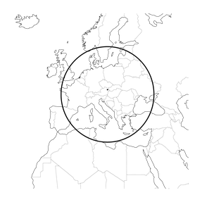
JOURNEY to the site
We are able to travel 1500km around Vienna to suit your needs of a Lidar scan.

SCANNING the desired section
We use our own RTC360 for that process.
Put two batteries in the machine and the special USB stick and off you go.
Every site needs a different scanning pattern, the absence of people on the site while scanning is preferable, but not a must.

RAW REGISTRATION in intervals
After every scan, the created file is transmitted, to a control tablet, with reduced file size. Here the new scan can be roughly connected to all the information added up to this point, so that the user gets a good idea of the darks spots in the whole scan area.
This also helps a lot with the precise registration later on in the office.

IMPORT the data to your computer
With Cyclone Register 360 you can then import the data to your computer, this takes some time as not only the scan data is transferred but also the moving pattern of the scanner itself through a acceleration sensor and the rough preregistration done on the pad.

REGISTRATION evaluating every single scan
This takes almost as much time as scanning but fortunately the software does all the work, for now.
We let that run over night, most of the time.

CLEANING the project
All the scans are now one, time to clean up the things the algorithm did not catch.
And maybe it makes sense to set a new project origin, otherwise the first scan registered will be the source point.

REFERENCE your point cloud
The file can now be attached as fundation to create and position intelligent BIM elements such as beams, windows, collumns, walls, pipes, ducts, ...
If you wanna know how you can create your own BIM Elements, have look HERE
If you need numbers you can trust, WRITE US!